Precise, Scalable, and Designed for Professional Impact
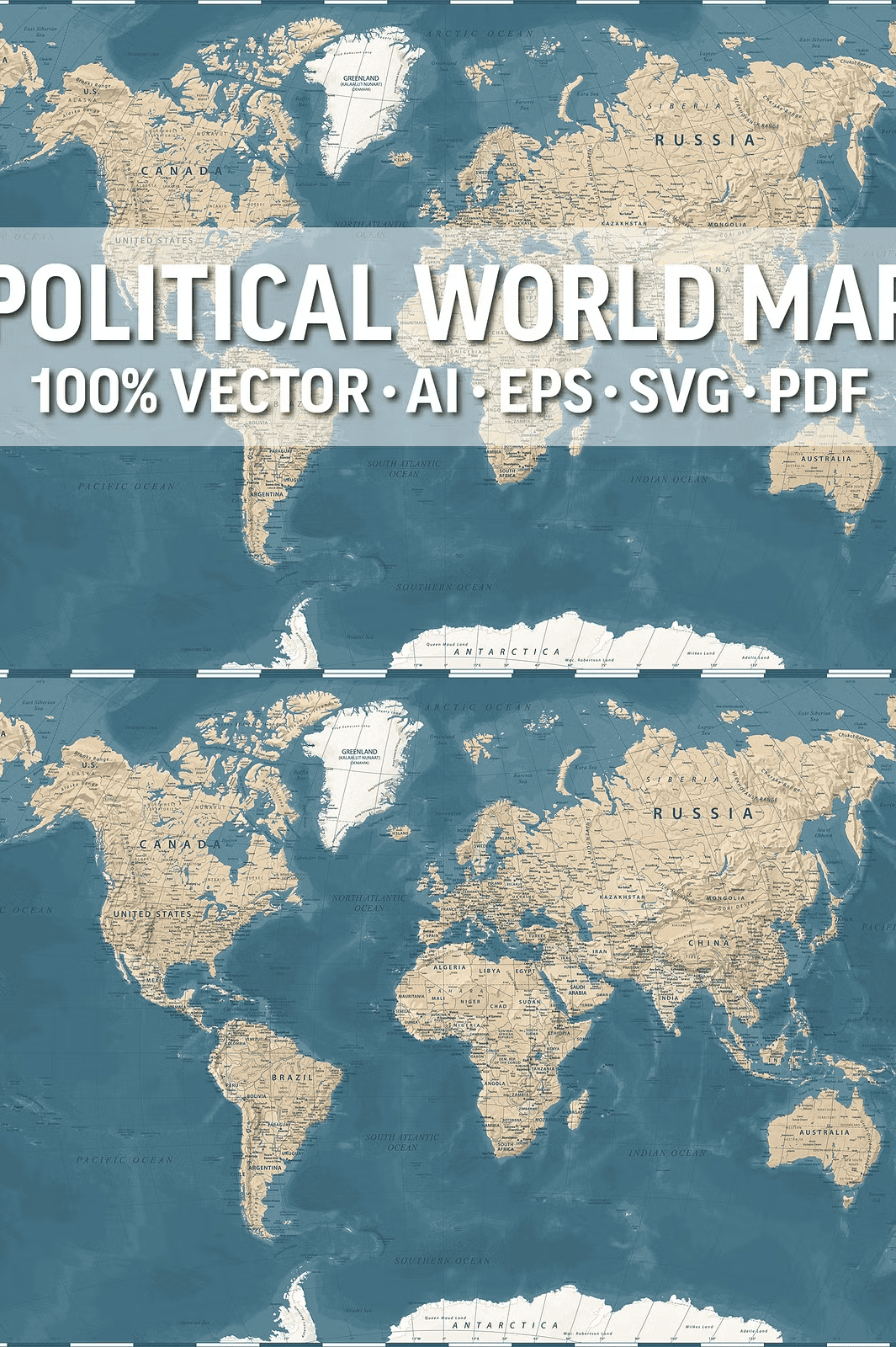
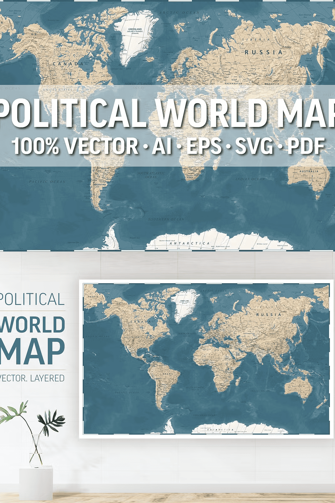
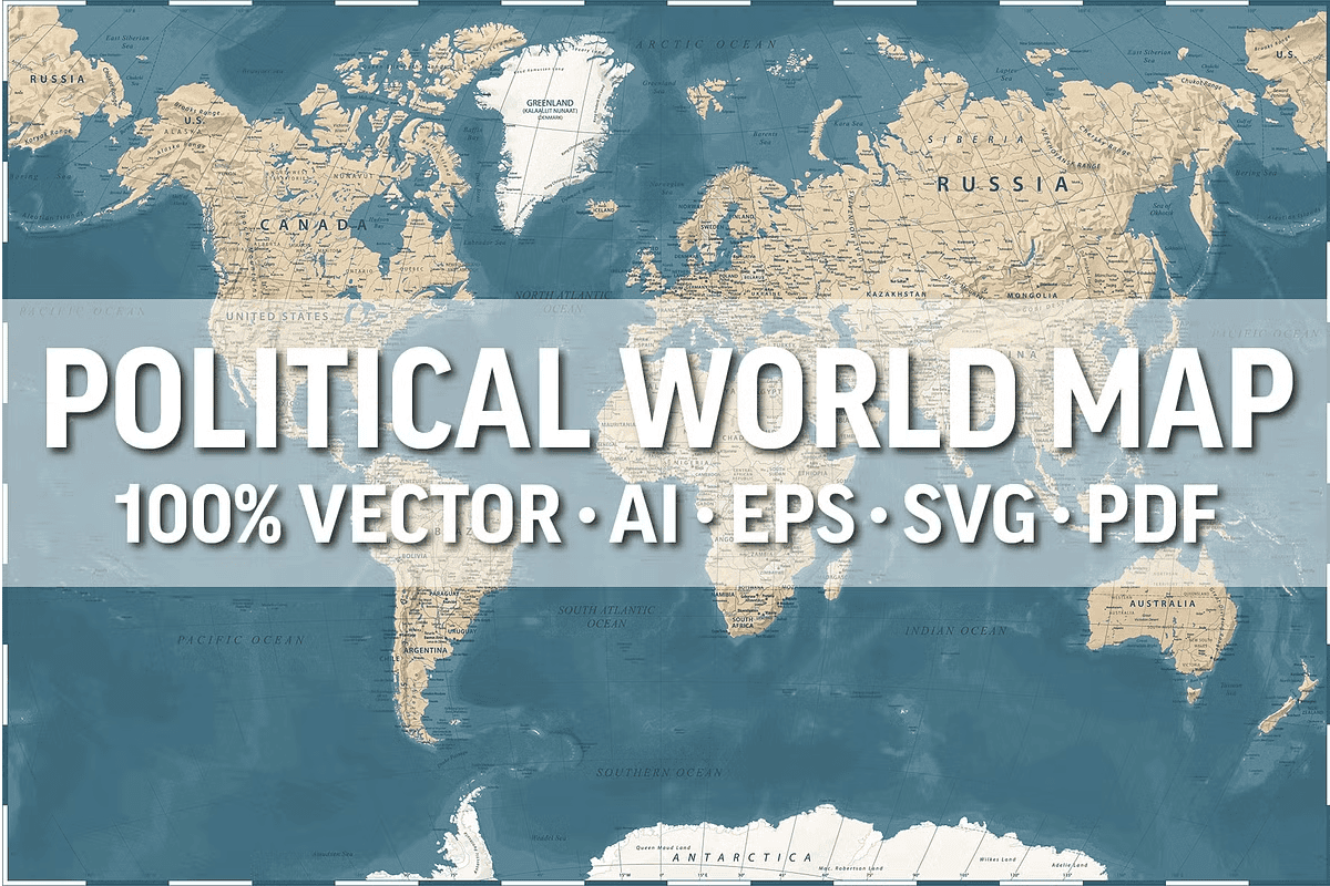
Transform your designs with this **highly detailed, vector-based political world map**, engineered for endless scalability and crystal-clear quality at any size. Whether you’re creating large-format posters, digital presentations, or educational wall murals, this map delivers unmatched clarity and precision—no matter how much you zoom in or resize. Every line, label, and geographic feature is crafted with accuracy and artistic care, making it ideal for professionals, educators, and creatives who demand excellence.
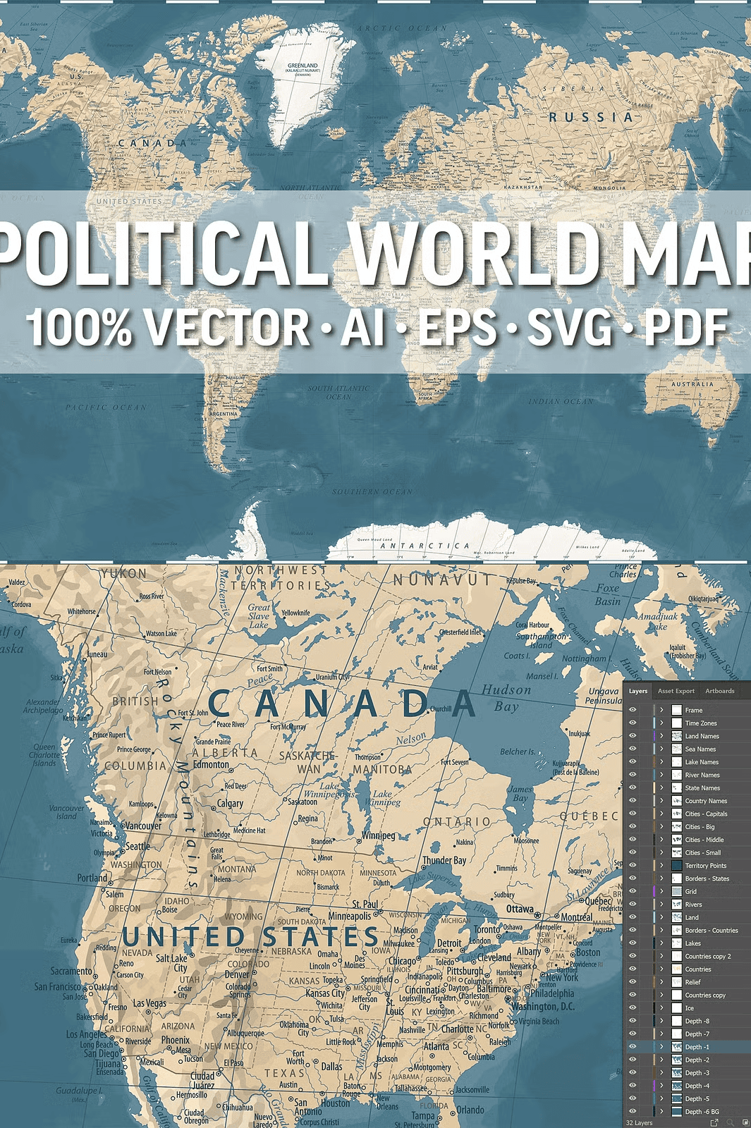
This isn’t just a map—it’s a powerful design tool. The fully layered structure allows you to selectively display, hide, or edit specific features such as country borders, capital cities, rivers, or topographical elements. Control the visual complexity with ease, tailor the map to your specific needs, and maintain absolute quality at every stage of production.
Complete Geographic Detail for Maximum Usefulness
Every major geographical element is included to ensure your map is both informative and visually compelling:
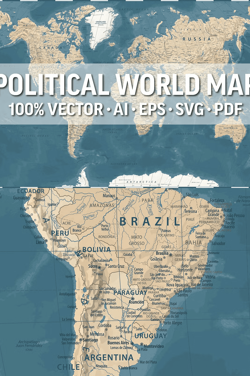
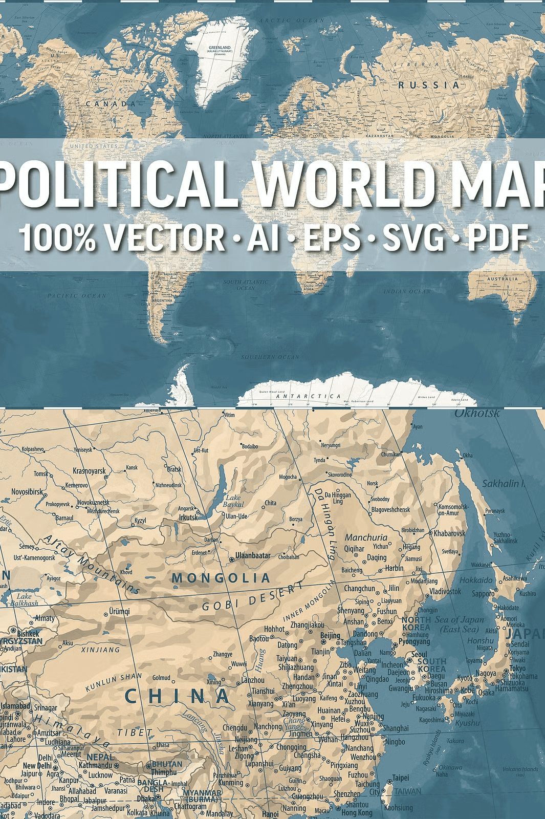
– **Countries and state borders** with accurate political boundaries
– **Capitals and major cities** clearly labeled
– **Rivers, lakes, seas, and oceans** rendered with precision
– **Mountains, deserts, valleys, and terrain features** for topographic depth
– **International date lines and graduated grid networks** for navigation accuracy
This comprehensive dataset makes the map ideal for academic settings, boardroom presentations, travel media, or artistic installations—where both aesthetics and accuracy matter.
Multi-Format Access for Every Creative Workflow
Maximize your efficiency with full compatibility across design platforms and output needs. The ZIP archive includes professional-grade file formats for every use case:
– **AI10 and EPS10**: Full layer control for Adobe Illustrator and similar tools
– **SVG**: Optimized for web and digital use with responsive scalability
– **PDF**: Ideal for printing, sharing, and professional collaboration
– **Hi-Res JPEG**: Ready-to-use high-quality image files for presentations and social media
Each format preserves the original vector integrity and layering, so you can work effortlessly across tools without quality loss.
Effortless Customization with Separated Layers
The true power lies in the layered design. Break down the map into individual components for flexible editing:
– Countries (separate layer)
– Country names (fully editable)
– Capitals and large cities
– State boundaries and names
– Bodies of water (rivers, lakes, seas, oceans)
– Topographic features
– Date line and graduated grid
This separation allows you to customize colors, remove clutter, or emphasize specific regions—perfect for storytelling, regional analysis, or marketing visuals.
Perfect for Education, Presentations, and Creative Projects
Whether you’re teaching geography in a classroom, preparing a global business report, or designing a travel-themed layout, this map brings your ideas to life with authority and elegance. It enhances the credibility of your content while delivering striking visual impact.
Use it to:
– Create engaging classroom displays and learning materials
– Design compelling business or conference presentations
– Illustrate travel guides, city guides, or educational infographics
– Serve as a backdrop for wall art, murals, or home office decor
– Export to print or digital platforms without quality degradation
Get Your Professional-Grade World Map Today
Stop settling for low-resolution or overly simplified maps. Access a fully scalable, layered, and deeply detailed world map designed for professionals who refuse to compromise on quality.