Discover a Fully Layered, Highly Detailed Vector Map Designed for Maximum Scalability and Precision
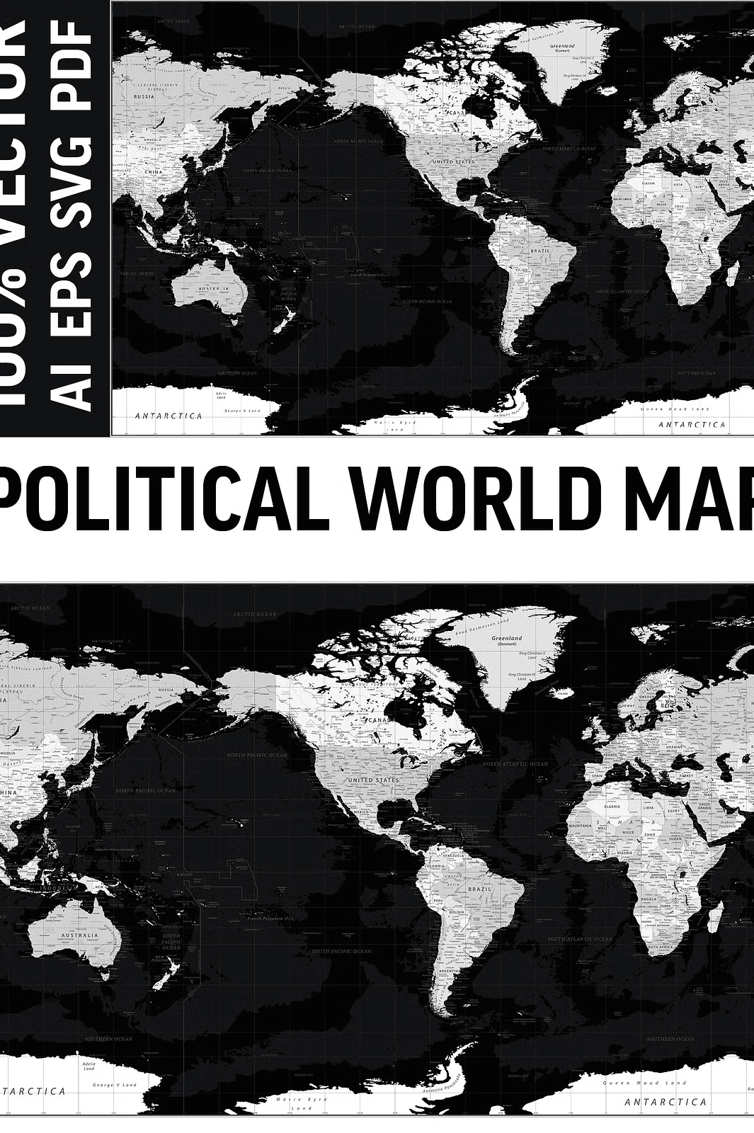
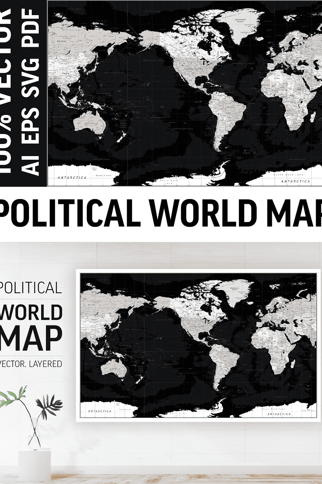
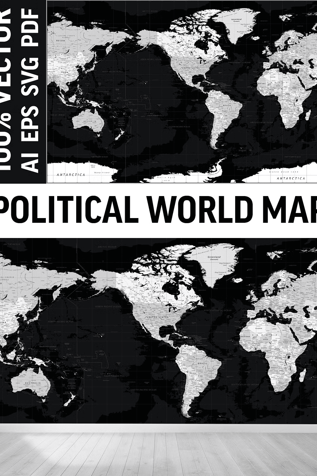
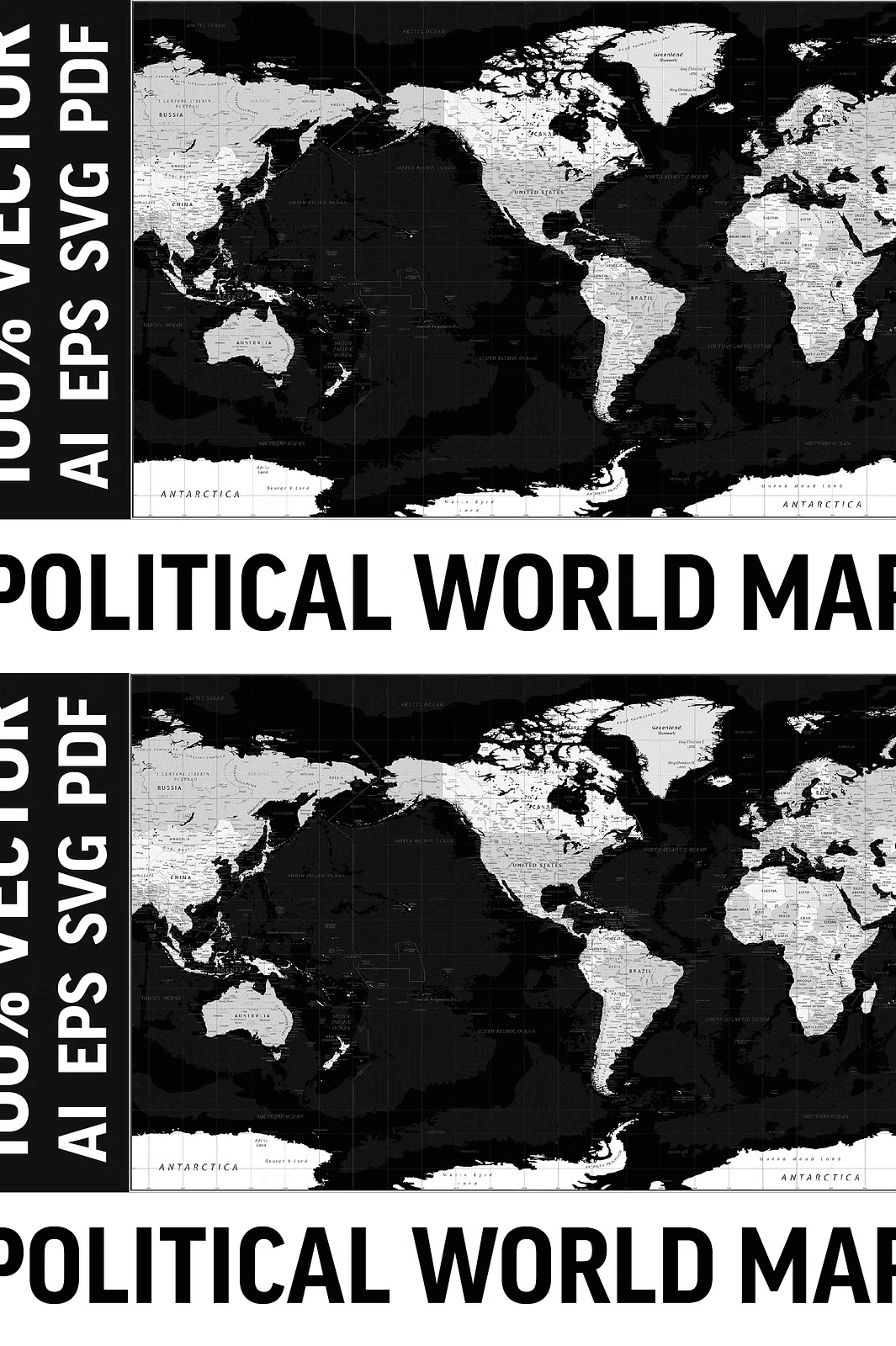
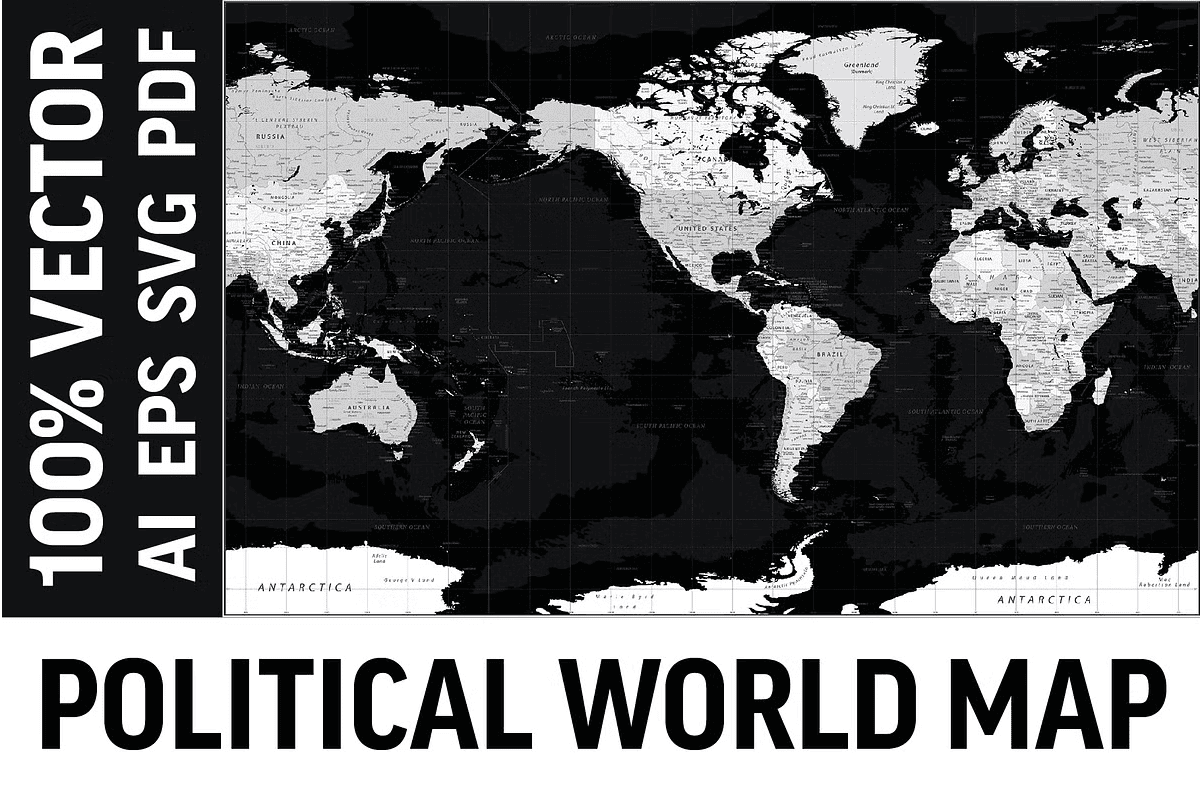
Elevate your projects with this **World Political Map centered on America**, expertly vectored and composed of multiple editable layers. Crafted to maintain impeccable quality at any size or scale, this map is perfect for everything from large wall posters and murals to detailed digital presentations and print media. Every geographic element preserves its sharpness and clarity, whether viewed on a massive canvas or a smaller screen.
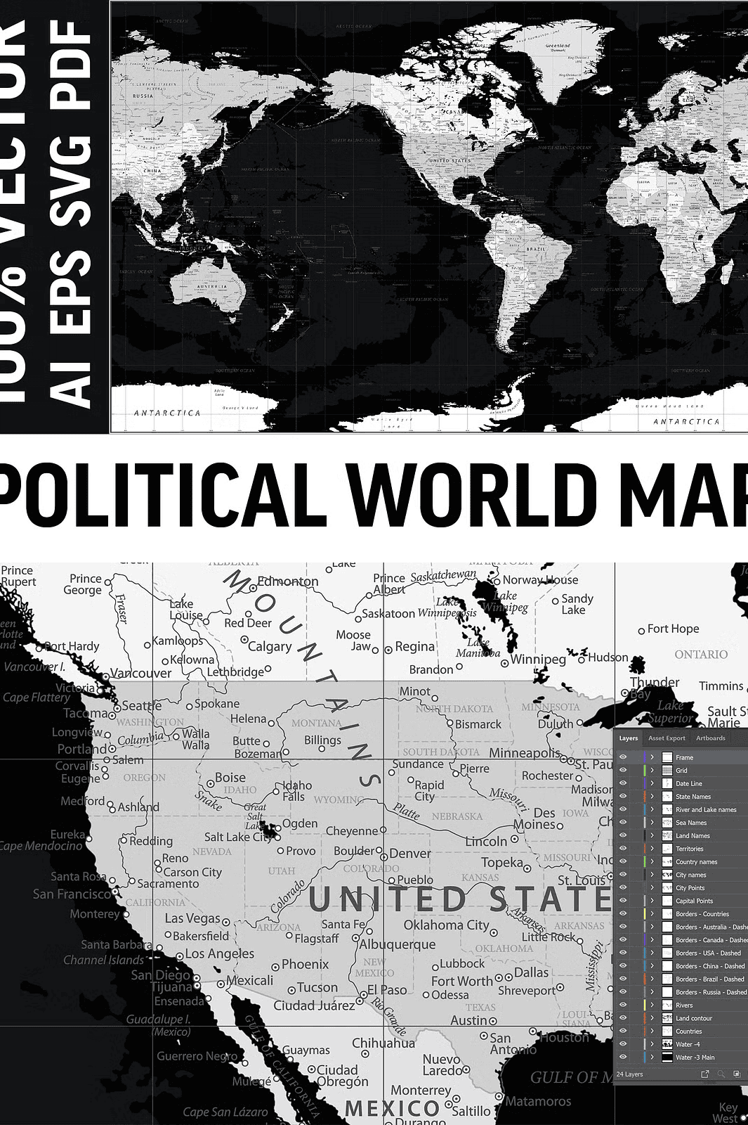
The layered AI and EPS files enable you to tailor the map to your needs by toggling individual map features such as country borders, capital cities, rivers, and topography. This flexibility allows for customized presentations that meet precise visual and educational goals.
Comprehensive Geographic Detail Tailored for Professional and Educational Settings
This highly detailed map includes an array of essential geographic and political elements to bring accurate context and beauty to your work:
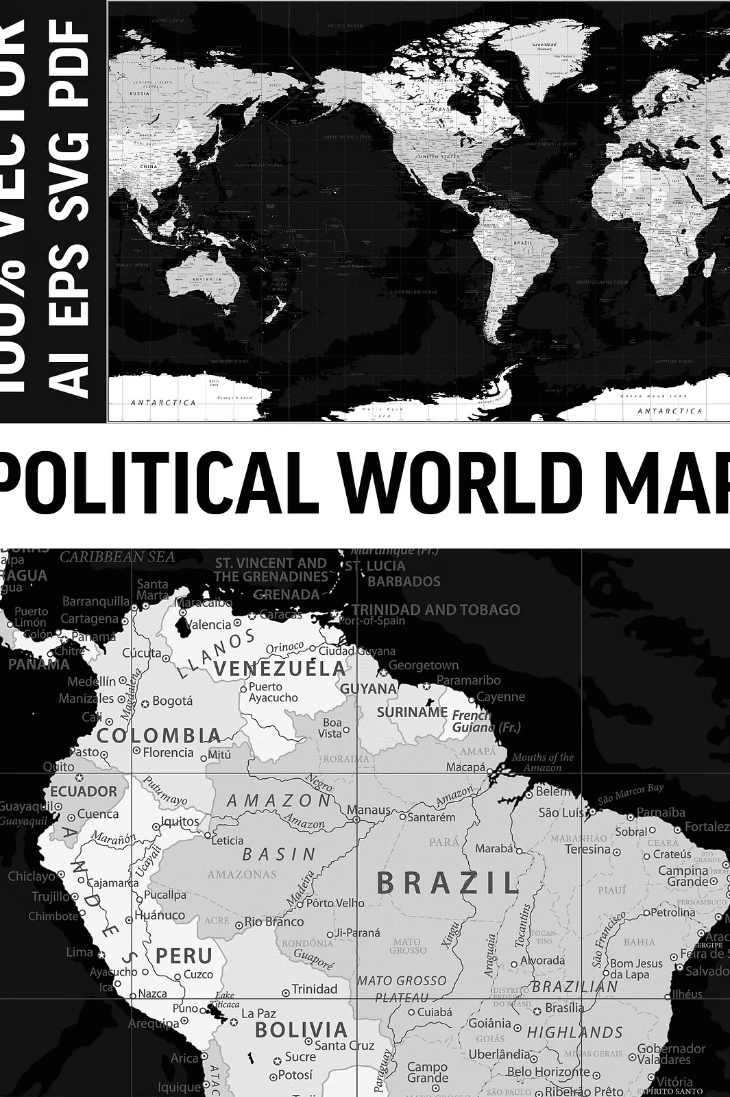
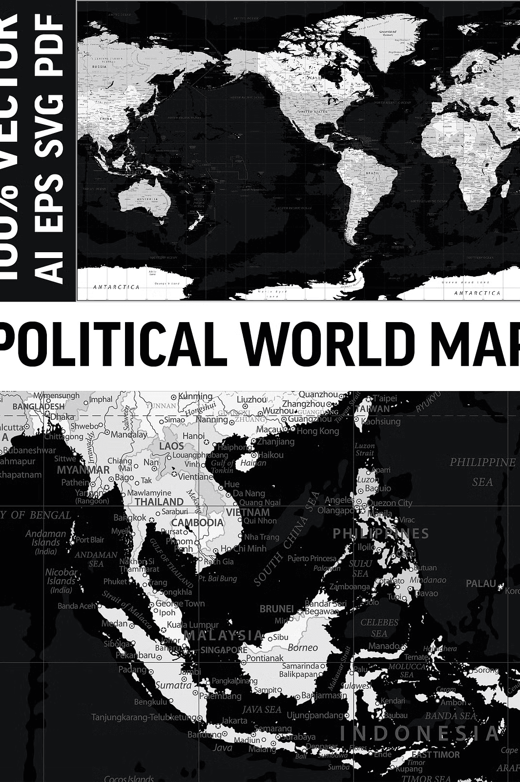
– **Clearly defined countries and their borders** for easy geopolitical reference
– **Major capitals and cities** prominently labeled for quick identification
– **Rivers, lakes, seas, and oceans** displayed with precise boundaries and flows
– **Mountain ranges, deserts, and valleys** outlined to illustrate key topographic features
– **International date lines and graduated grids** for accurate geographic orientation
– **A clean, modern styling** that layers geography and typography harmoniously for effective communication
Perfect for decorating homes, classrooms, and corporate offices, this map adds an educational and aesthetic layer to any environment. Use it in print or digital formats to enhance the impact of your presentations and designs.
Multiple High-Quality File Formats to Fit Any Creative Workflow
Contained in the ZIP archive, you will find versatile file formats, fully suited for diverse uses across different design applications:
– **AI10 (Adobe Illustrator)** files with fully layered, editable artwork
– **EPS10** files that retain vector quality with all layers intact
– **SVG** files optimized for web and interactive digital displays
– **PDF** files ready for high-quality printing with preserved vectors
– **HI-RES JPEG** for quick, high-resolution image previews or basic use
These formats ensure smooth integration with popular design software such as Adobe Illustrator, Affinity Designer, CorelDRAW, and Inkscape, allowing effortless editing and customization.
Important Reminder Regarding Fonts
Please be aware that this map does **not include editable fonts**. Text labels such as country and city names are vector shapes and can be recolored or resized but not retyped or changed unless you install and use the appropriate fonts separately.
Versatile Uses for a Wide Range of Applications
The flexibility of this map makes it a powerful visual tool across various domains:
– **Wall art and home décor**—add a sophisticated educational element to your spaces
– **Classroom teaching aids**—perfect for geography lessons and student projects
– **Professional presentations**—enhance reports, pitches, and slide decks
– **Web and digital content**—integrate interactive or static maps into online platforms
– **Custom product design**—develop mugs, puzzles, calendars, apparel, and more using the map graphics
– **Global business communications**—support visual storytelling and expansion efforts with clarity
Download Your Professional World Map with America Center Today
Note: This product is a digital download only—no physical item will be shipped. The license allows personal and commercial use under specific terms. Fonts used in the map labels are not included and cannot be edited. Color tones may vary slightly depending on your device or printing process. Please review license details before commercial use.